AERIAL SERVICES & PROJECT SOLUTIONSThe right perspective for your project.
Explore drone-based imagery, documentation, and coordinated project support. Tell us the objective, the location, and what the finished work needs to deliver.
Specialized assignments are evaluated individually for scope, technical requirements, qualified personnel, pricing, availability, regulatory requirements, and owner approval. Where appropriate, we may coordinate qualified subcontractors or project partners. Work requiring licensed technical conclusions, certifications, or signoffs must involve the appropriate licensed professionals. We agree the operating approach and deliverables with you before scheduling.
Commercial Roof & Property Documentation
Drone-based visual records of roofs, buildings, and surrounding property support maintenance discussions, condition documentation, and project planning. Aerial documentation does not replace a licensed engineering inspection.
Request a Quote →Construction Progress Monitoring
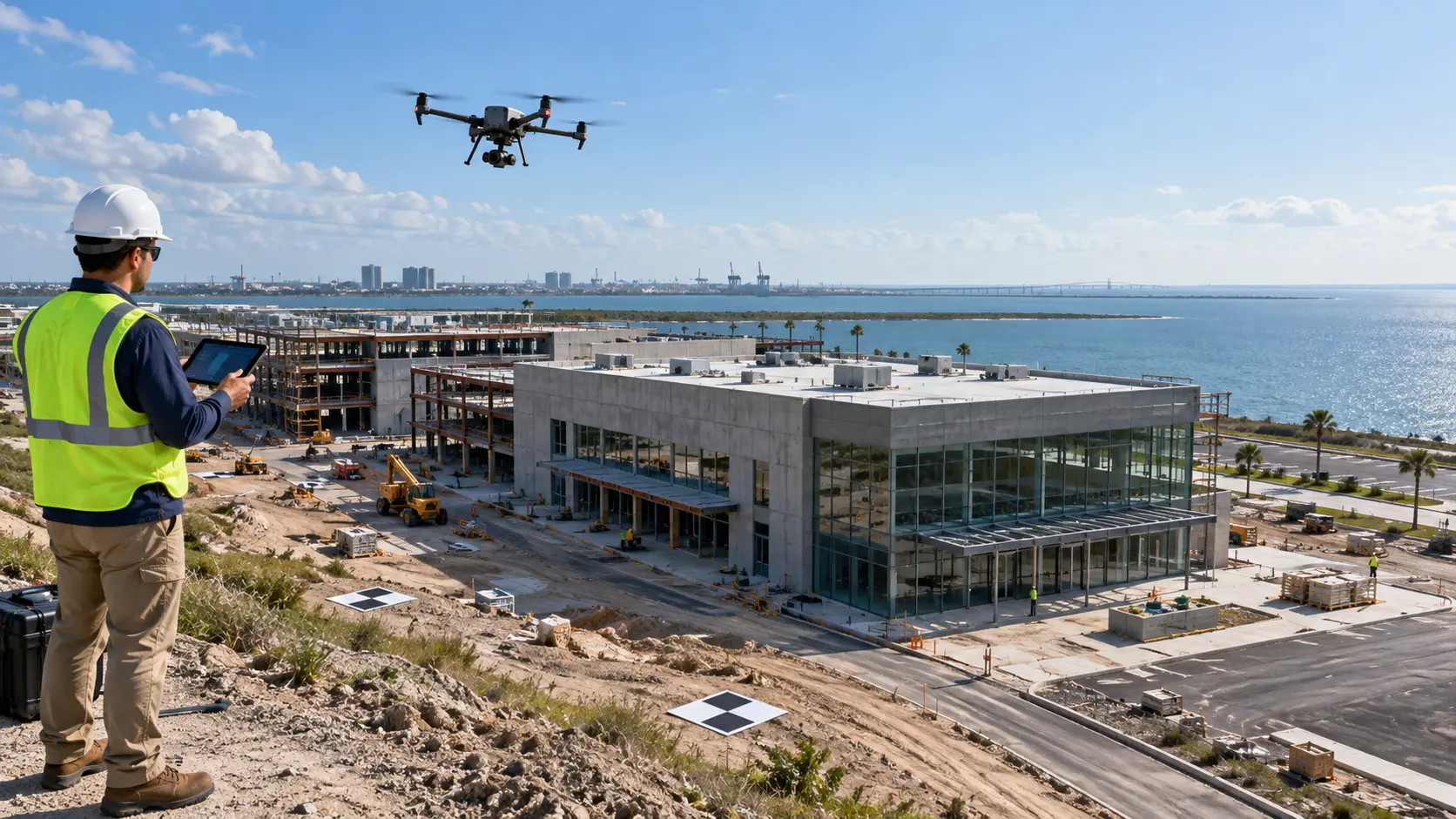
Repeatable aerial photographs and progress records help teams communicate changes, track milestones, and maintain a clear project history. Discuss the capture schedule and deliverables your stakeholders need.
Request a Quote →Real Estate Aerial Photography & Video
Aerial photographs and video show a property in context, from the building and grounds to its surroundings. Present residential and commercial listings with a clear, useful perspective.
Request a Quote →Thermal Imaging & Documentation
Aerial thermal imagery can support inspection and documentation objectives. Each project is evaluated for suitable collection and interpretation arrangements; thermal imaging alone does not establish a defect.
Discuss Your Project →Mapping & Photogrammetry
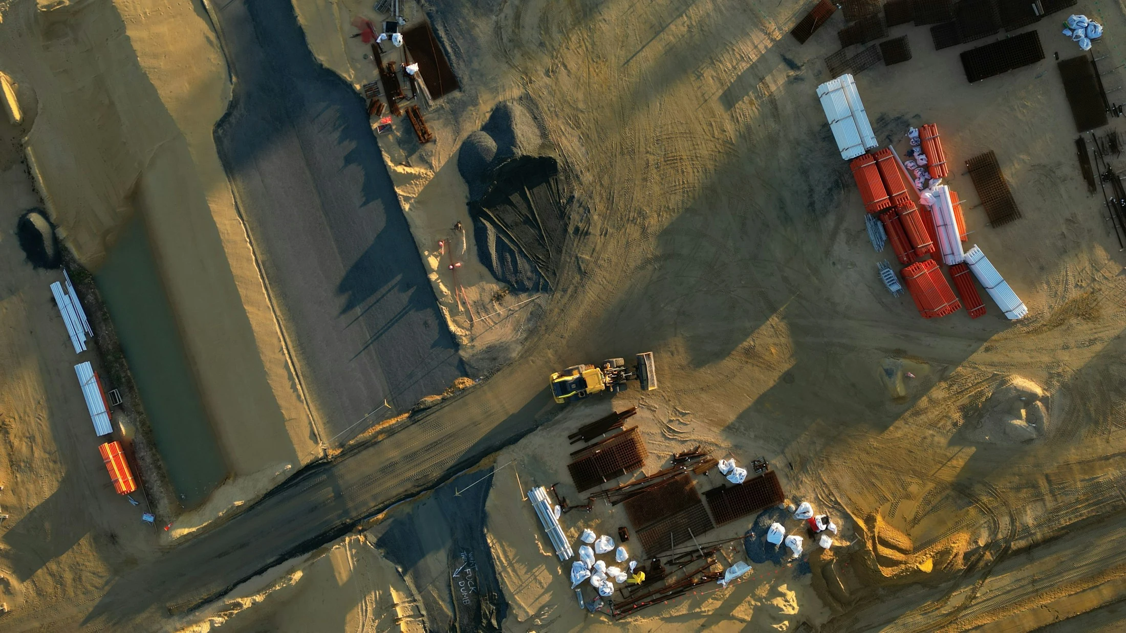
Discuss orthomosaics, site models, and applicable volume analysis for planning and documentation. Technical requirements and accuracy expectations are agreed in scope. These products are not licensed boundary surveys and do not guarantee survey-grade accuracy.
Discuss Your Project →Telecommunications & Infrastructure
Aerial visual records can help teams review elevated structures and hard-to-reach infrastructure. Discuss access, required views, reporting, and any licensed technical review needed for the project.
Discuss Your Project →Wind Turbine & Energy Site Documentation
Discuss drone-based visual documentation for turbines, solar farms, and other energy sites. Site permissions, safety requirements, technical scope, and delivery arrangements are evaluated for each assignment.
Discuss Your Project →Industrial & Commercial Aerial Operations
Aerial imagery and documentation can support facility records, infrastructure planning, and commercial site communication. Define the operating environment, information needed, and appropriate professional resources with our team.
Discuss Your Project →Security, Public Safety & Event Support
Discuss drone-based event documentation, site awareness, and coordinated support for responsible organizations. Coordinate lawful authority, appropriate permissions, and the operating scope with our team.
Discuss Your Project →Emergency Mission Support
Time-sensitive aerial documentation and search-support inquiries receive a feasibility review. Personnel, technical requirements, site access, weather, and legal authority determine whether an assignment can be coordinated. For immediate threats to life or safety, call 911 first.
Discuss Your Project →Custom Aerial Documentation
Bring us an objective that does not fit a standard category. We will discuss what you need to show, document, or understand, then evaluate the location, operating conditions, and required deliverables.
Request a Quote →3D Reconstruction & Site Visualization
Discuss model-ready aerial capture and three-dimensional site documentation for project communication and visualization. Capture methods, processing, and professional review are defined around the intended use of the finished model.
Discuss Your Project →