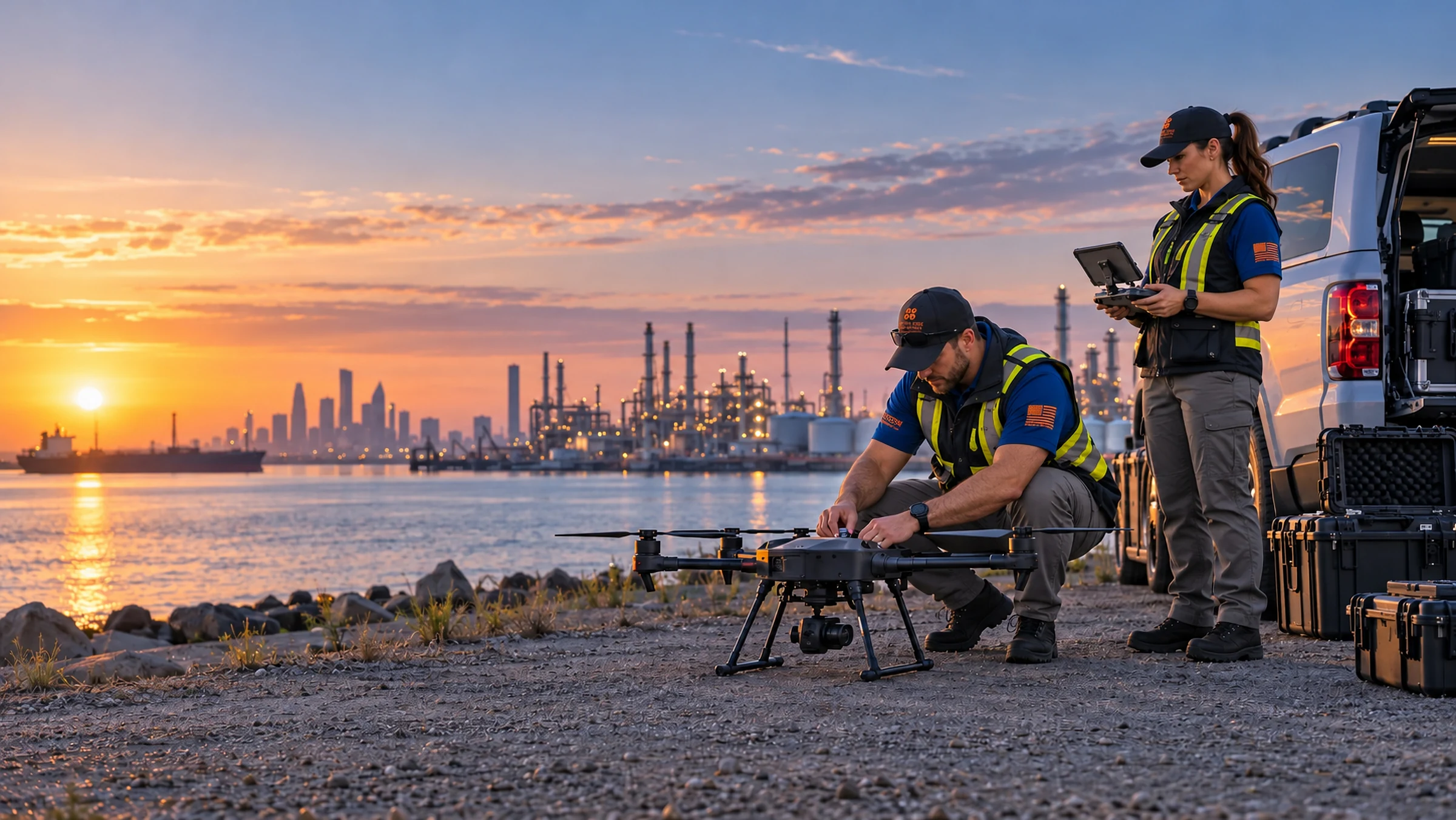
Sharper perspective.
Stronger decisions.
Professional aerial imagery and useful documentation. Carefully planned, safely flown, and built around what you need to see.
Your objective comes first.
From a property listing to a project record, Tactical Edge Drones helps turn aerial perspective into information you can use. Tell us the location, the goal, and the timing. We review site conditions, suitable aircraft and equipment, operational feasibility, and required deliverables to define a realistic scope and keep you informed.
Call Us Property & Real-Estate Imagery
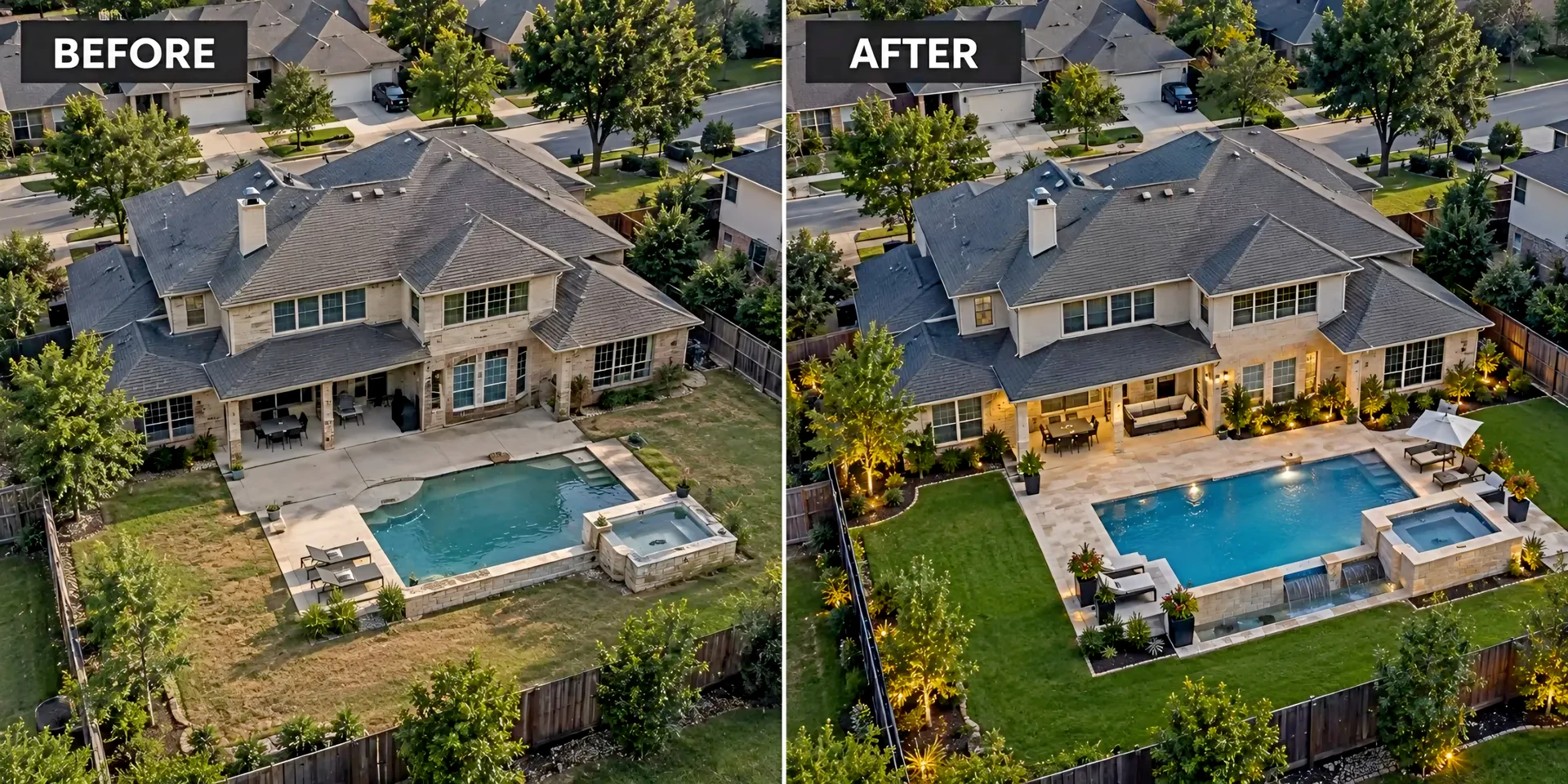
Show the whole property.
Aerial property photos and short video clips show the building, setting, and surroundings. Discuss the views your listing needs.
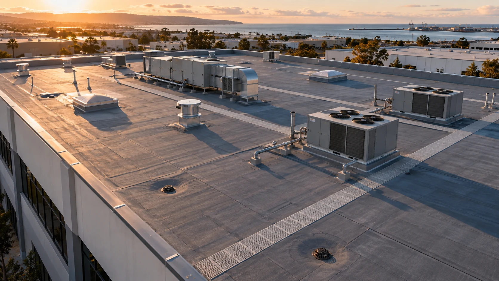 Roof & Property Inspections
A clearer condition record.
Drone imagery supports condition records and maintenance planning. Visual documentation does not replace a professional inspection opinion.
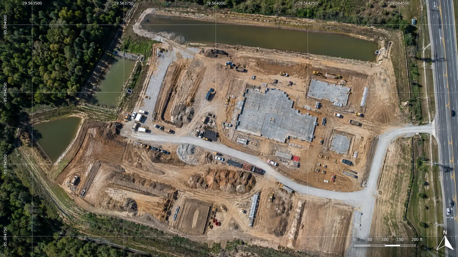 Construction Progress Documentation
Keep progress in view.
Repeatable aerial imagery records changes and project milestones. Plan capture around the updates your team needs.
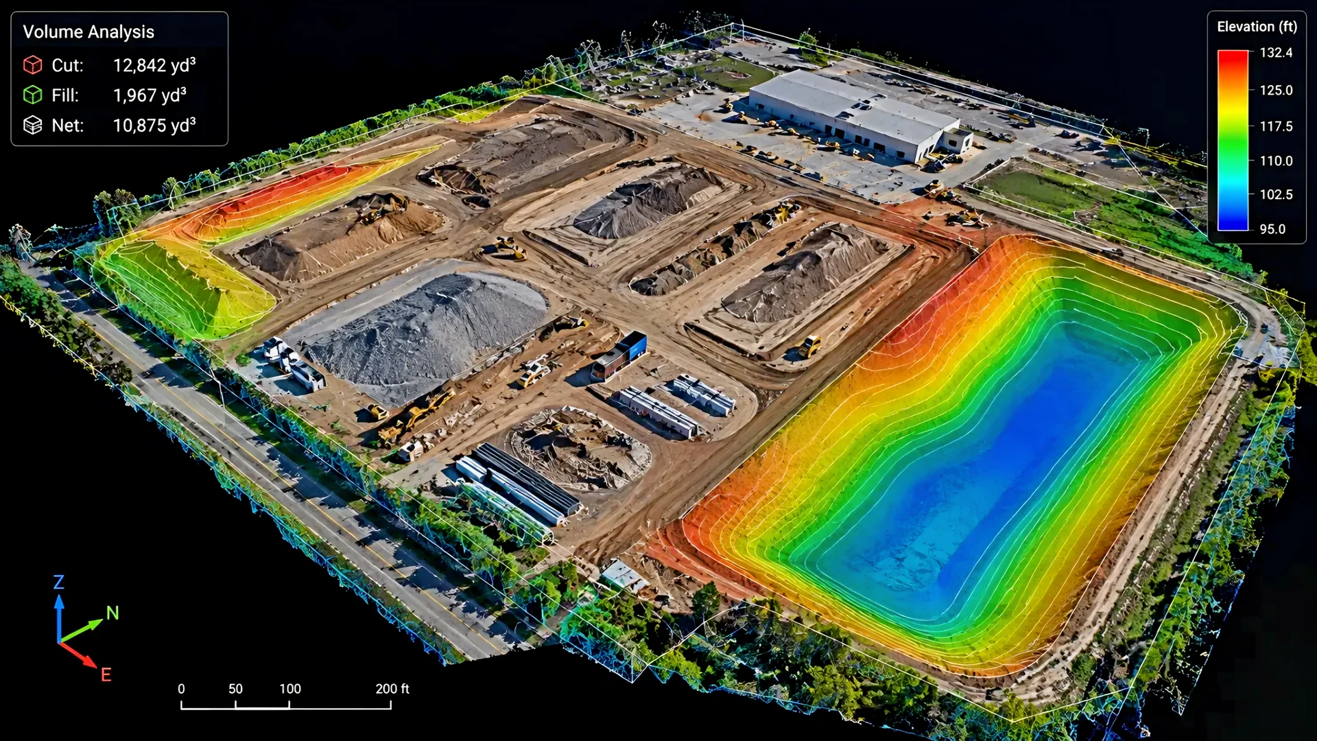 Mapping, Photogrammetry & Site Intelligence
Put the site in perspective.
Discuss orthomosaics, mapping, and model-ready datasets for site planning and documentation. Define the outputs and technical scope with our team. Boundary surveying requires a licensed professional.
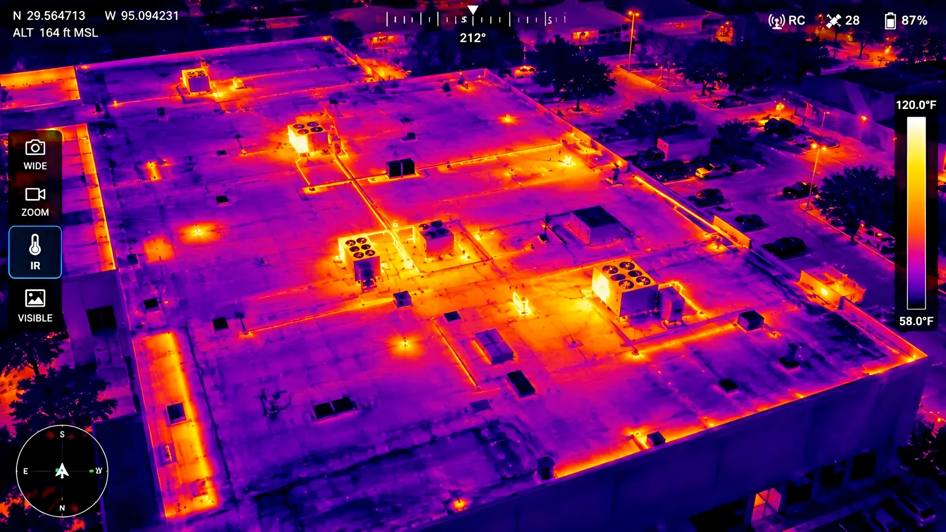 Thermal & Industrial Inspection
Start with the inspection objective.
Discuss thermal aerial documentation for your inspection objective and the right collection and interpretation approach. Thermal imagery alone does not establish a defect.
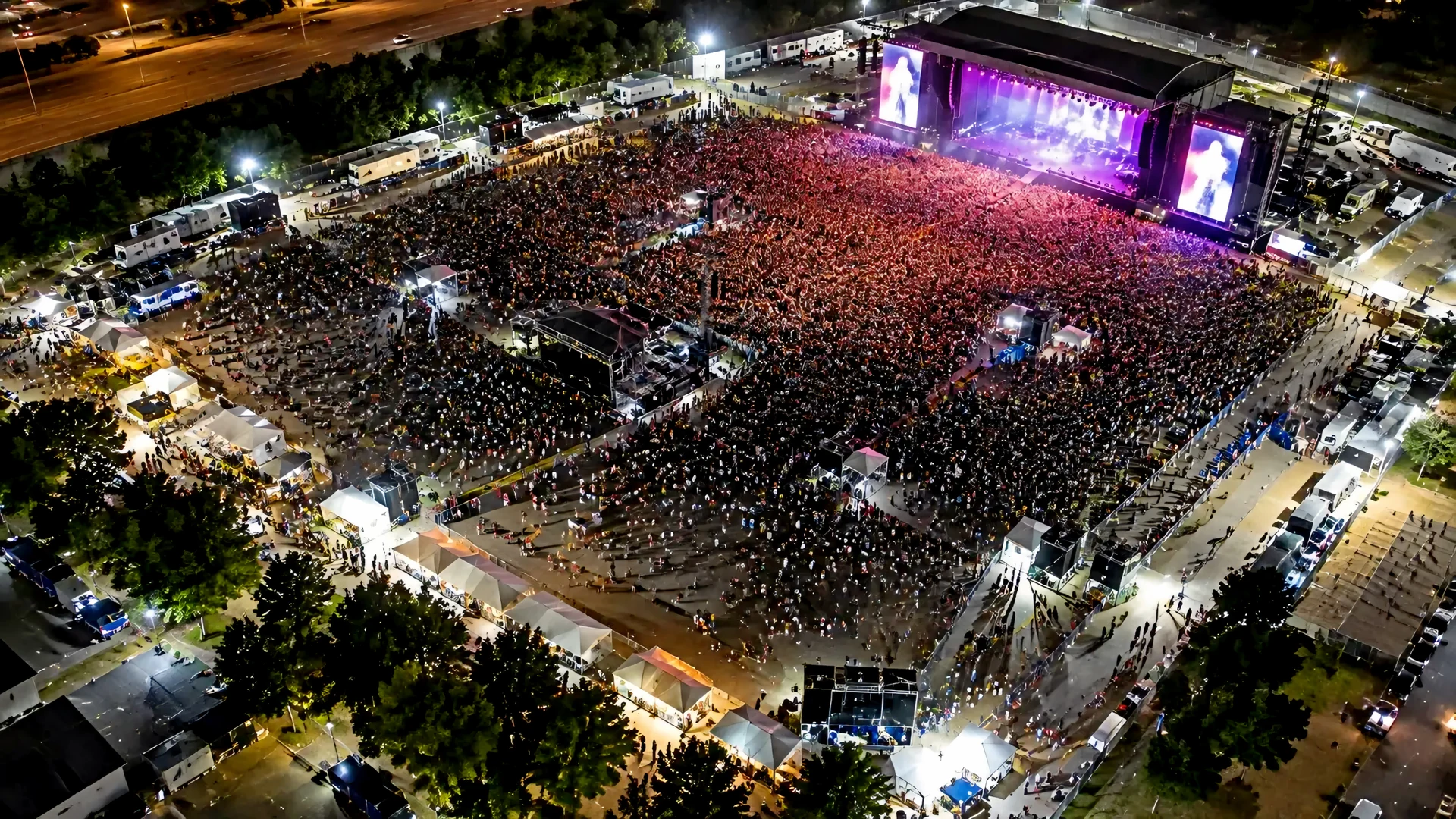 Security, Public Safety & Event Support
See the event in context.
Discuss event documentation and site awareness, with operating scope, permissions, and coordination tailored to the responsible organization.
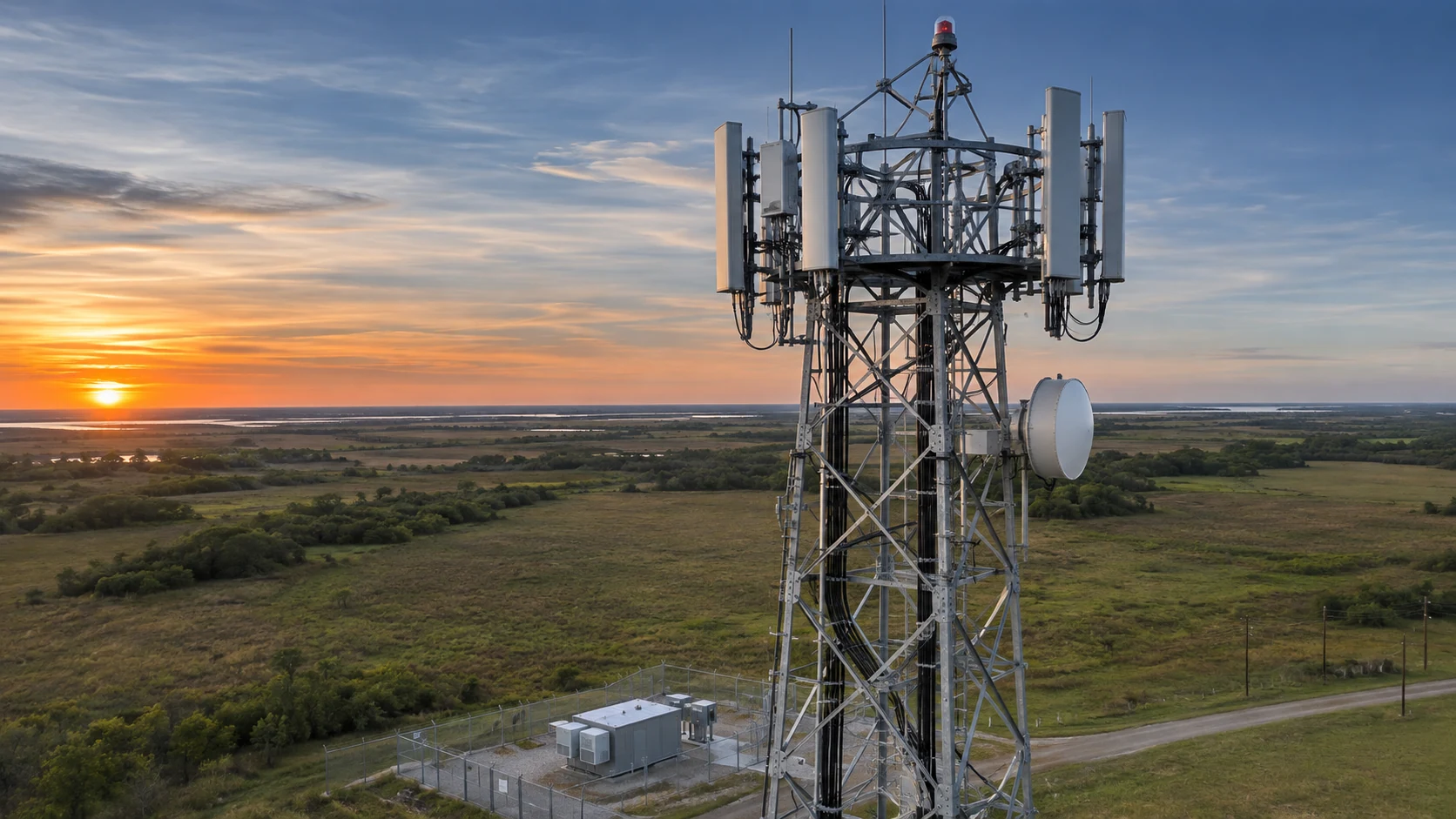 Telecommunications & Infrastructure
Bring structures into view.
Discuss aerial visual records of towers and hard-to-reach infrastructure. Define the views, site-access arrangements, and appropriate professional review for your project.
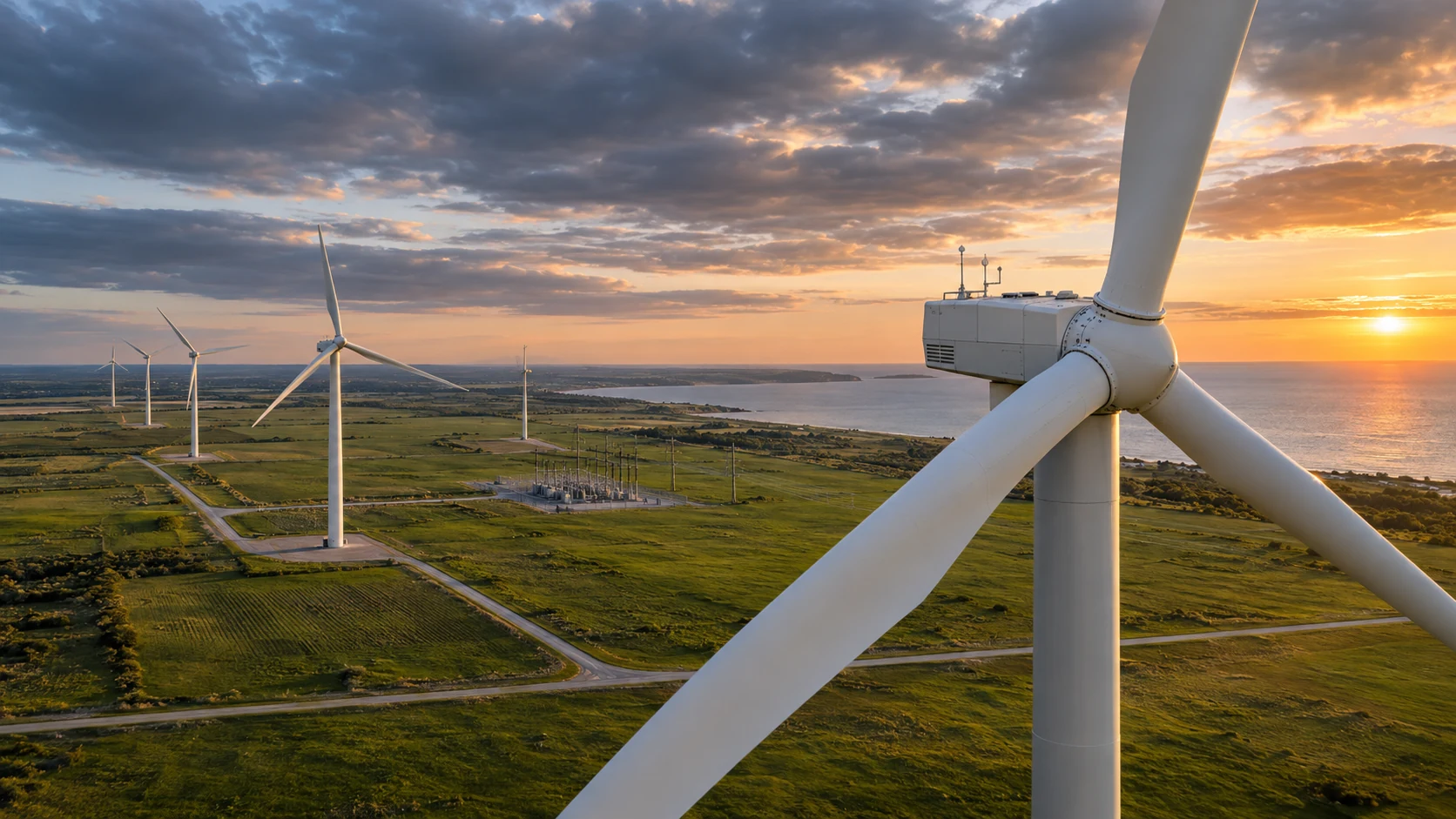 Wind Turbine & Energy Sites
A closer view of energy sites.
Discuss drone-based documentation of turbines and energy infrastructure. Our team can evaluate the site, required views, permissions, and coordinated professional resources for your objective.
 Custom Aerial Documentation & Mission Support
Define the view you need.
Tell us the location, objective, and required deliverables. We will review conditions and agree a suitable scope before scheduling.
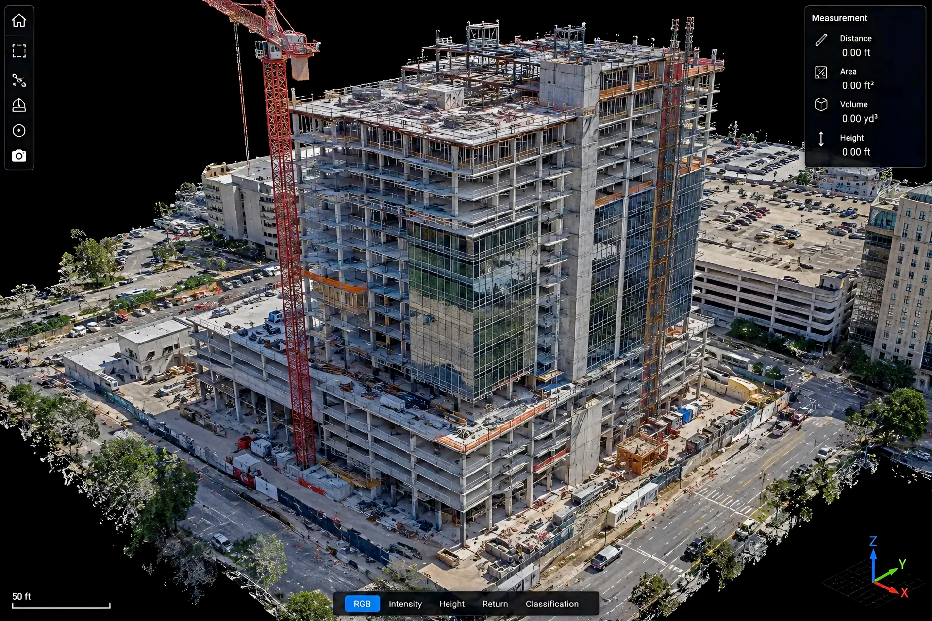 3D Modeling & Construction Visualization
Make complex sites easier to understand.
Discuss model-ready aerial capture, construction visualization, and digital-twin objectives. Define the intended use, processing approach, and required deliverables with our team.
Explore the possibilities.
Explore aerial project categories and talk with our team about the information your project needs.
Commercial Roof Documentation
Organized visual roof documentation package; not an engineering inspection.
Explore ServicesConstruction Progress Documentation
Repeatable visual documentation for commercial projects.
Explore ServicesReal Estate Aerial Package
Professional RGB aerial photos and short video clips.
Explore ServicesA mission with a different objective?
Tell us your objective so we can discuss a suitable scope and coordinated approach.
Explore Services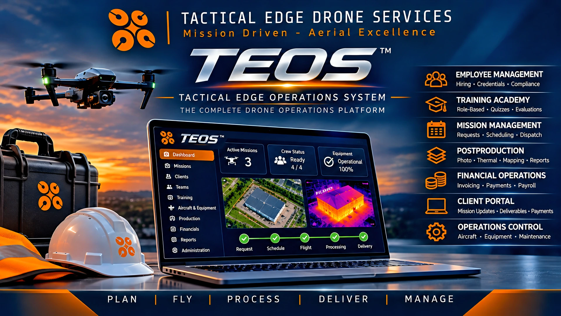
Personal service.
Organized from the start.
Our own operations system supports organized planning, mission records, communication, deliverables, and accountability. It helps us keep the objective in view from your first conversation through the finished work.
You get the organization expected from a larger company, with responsive, personal service from Tactical Edge Drones.
 Leadership with personal accountability
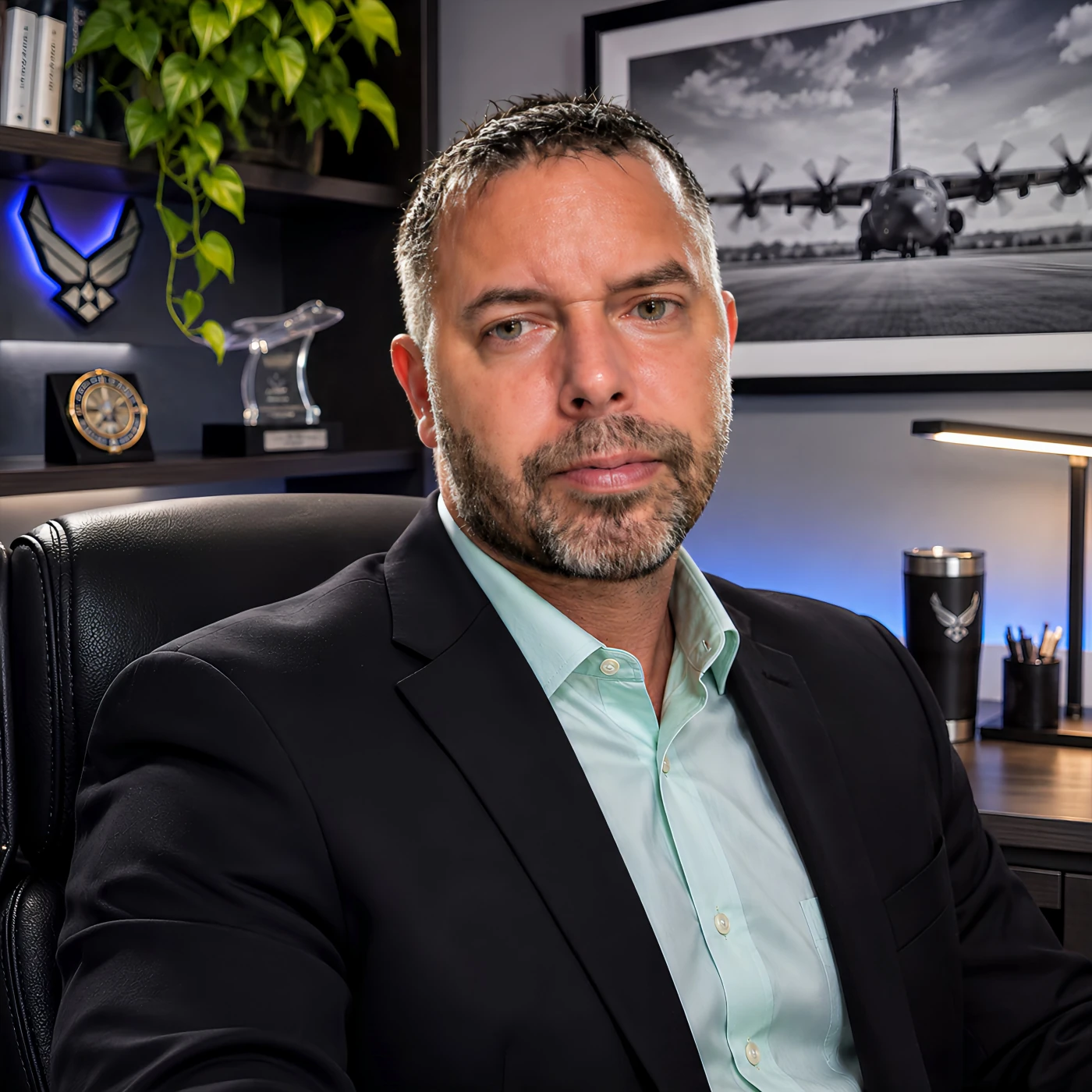
The person behind the promise.
Perry Stevenson
Owner & Chief PilotU.S. Air Force veteran, former federal officer, and FAA Part 107 certified remote pilot Perry Stevenson brings more than two decades of operational leadership, security, and emergency-management experience to Tactical Edge Drones. As Owner and Chief Pilot, he personally oversees safe, carefully planned operations and ensures clients receive clear, usable results.
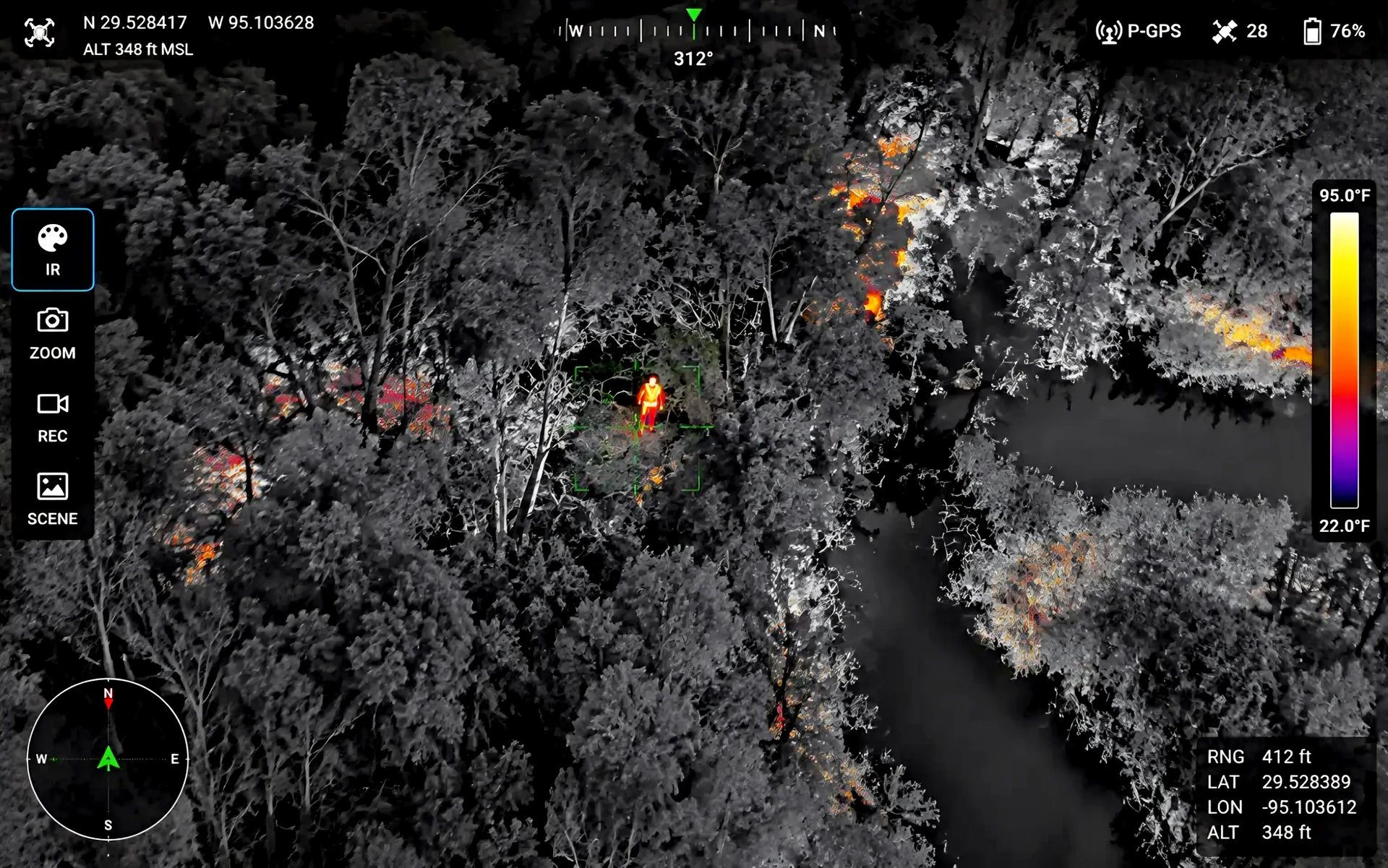
When the need is time-sensitive, start with a conversation.
Call or text about urgent aerial documentation or qualified search-support requests. Deployment depends on personnel, equipment, site access, airspace, weather, safety, and legal authority.
For immediate threats to life, fire, crime, or medical emergencies, call 911 first. Tactical Edge is a civilian provider and does not guarantee response, availability, or deployment.
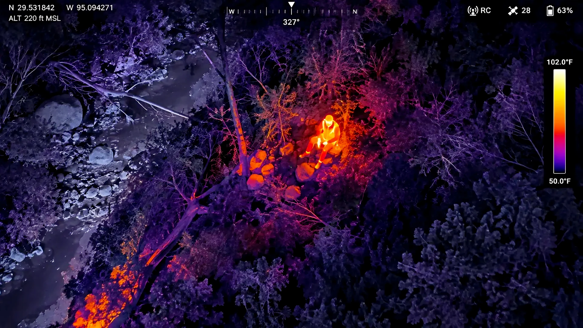
A closer look.
Thermal aerial imagery provides an additional perspective when visibility is limited, helping reveal heat signatures and areas of interest that may be difficult to identify through conventional imaging.
What do you need to see more clearly?
Tell us the goal, the location, and your timing. Start with a call, or send a text when it is convenient.